| Asilah أصيلة |
|
|---|---|
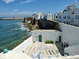     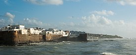 Clockwise from top: seaside walls and cemetery of the medina; street inside the medina; Grand Mosque; seaside view of the city; coastline near the city; a roundabout in the modern town. |
|
  Asilah Location in Morocco Show map of MoroccoShow map of AfricaShow all |
|
Coordinates:  35°28′N 6°2′W 35°28′N 6°2′W |
|
| Country |  Morocco Morocco |
| Region | Tanger-Tetouan-Al Hoceima |
| Population (2014)[1] |
|
| • Total | 31,147 |
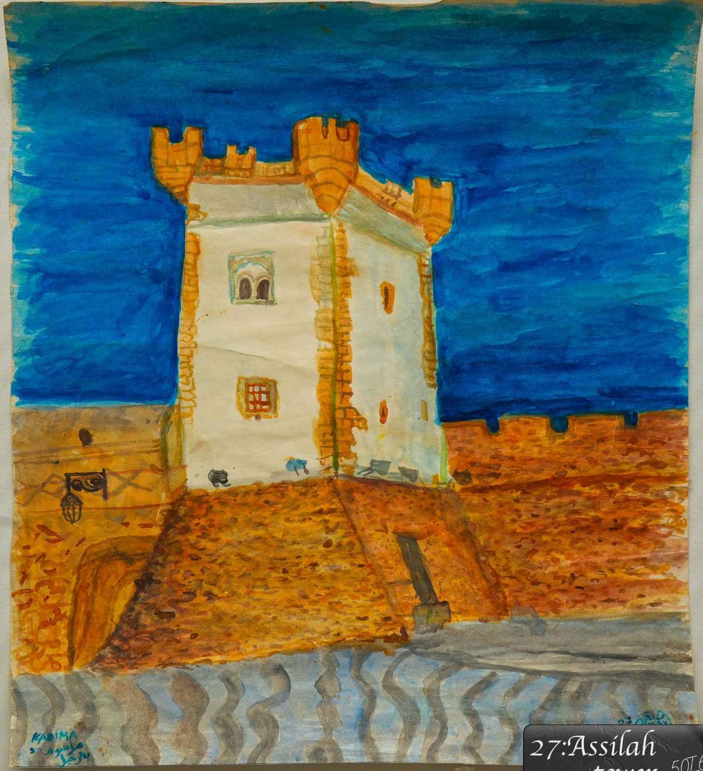
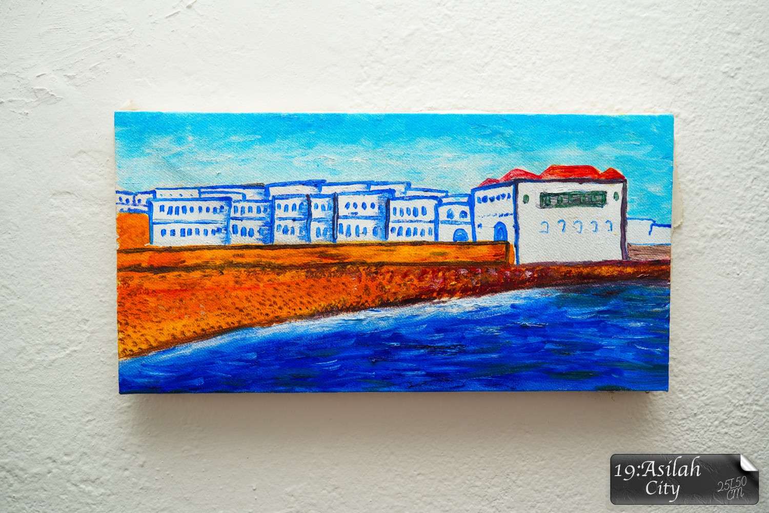
Asilah (Arabic: أصيلة) is a fortified town on the northwest tip of the Atlantic coast of Morocco, about 31 km (19 mi) south of Tangier. Its ramparts and gateworks remain fully intact.
History[edit]
See also: Portuguese AsilahThe town's history dates back to 1500 B.C., when Phoenicians occupied a site called Silis, Zili, Zilis, or Zilil (Punic: 𐤀𐤔𐤋𐤉𐤕, ʾšlyt,[2] or Punic: 𐤔𐤋𐤉, šly)[3] which is being excavated at Dchar Jdid, some 12 km (7.5 mi) NE of present Asilah; that place was once considered to be the Roman stronghold Ad Mercuri, but is now accepted to be Zilil. The town of Asilah itself was originally constructed by the Idrisid dynasty,[4] and Umayyad caliph Al-Hakam II rebuilt the town in 966.[5] The Portuguese conquered the city in 1471 and built its fortifications, but it was abandoned because of an economic debt crisis in 1549.[6] In 1578, Sebastian of Portugal used Asilah as a base for his troops during a planned crusade that resulted in Sebastian's death, which in turn caused the Portuguese succession crisis of 1580. The Portuguese kept hold of the town but in 1589 the Moroccans briefly regained control of Asilah, but then lost it to the Spanish.[7]
| Weight | 0.8 |
|---|---|
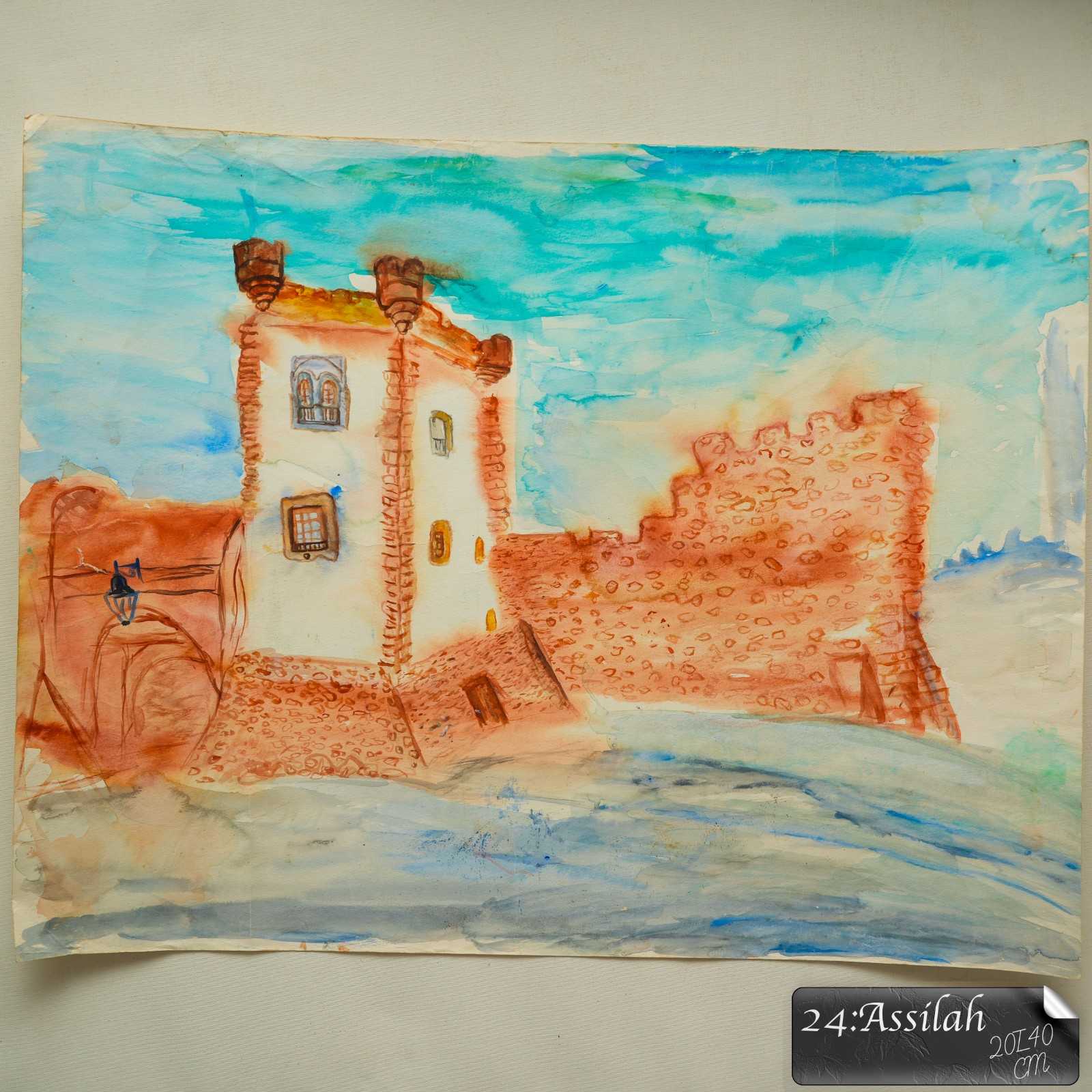
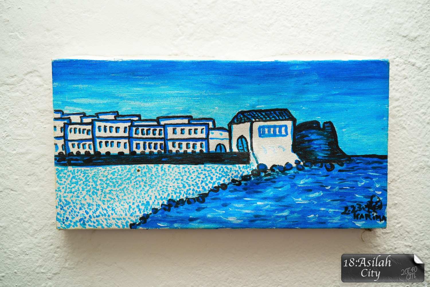
| Dimensions | 20/40 cm |






.jpg)
